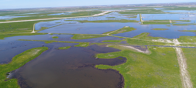
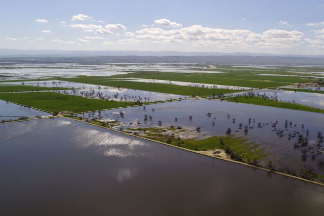
The wet winter of 2017 brought an opportunity to test groundwater recharge—the intentional spreading of water on fields to percolate into the aquifer—as a tool for restoring groundwater levels and helping basins comply with the Sustainable Groundwater Management Act (SGMA). This is especially important in the San Joaquin Valley, which has the biggest imbalance between groundwater pumping and replenishment in the state.
A key question for many valley water managers is how much water will be available for recharge in the long term. By law, only river flows in excess of what is required for environmental purposes and to supply existing water-right holders are available for recharge. A recent report by the PPIC Water Policy Center estimated how much water would be available in the San Joaquin Valley over the long term. Two earlier studies—one by two scientists at UC Davis and the other by the Department of Water Resources—estimated a maximum of about half a million acre-feet on average, which is about a quarter of the valley’s estimated deficit. The PPIC study updated these estimates in the context of current conditions and concluded that an average of more than a million acre-feet of San Joaquin River flows may be available.
There are two big challenges to getting more water into underground storage in the valley:
- Most water for recharge becomes available during short periods. These periods usually coincide with floods, when recharge infrastructure—such as canals, pipelines, and recharge basins—is already working at full capacity. In 2017, for example, more than half of the available water would need to be diverted in February and March, with diversions above 30,000 acre-feet on most days (see figure). To put that into perspective, the California Aqueduct—the state’s largest conveyance system—has a maximum capacity of 26,000 acre-feet per day. While such daily volumes are lower than the overall volume of water moved in the valley during the summer irrigation season, seasonal floods are concentrated in relatively few areas where conveyance limits are likely to be a challenge.
- Most of the available flows are in the northern half of the valley, while most of the overdrafted basins are in the drier south. This highlights the need to evaluate the capacity of large system-level water conveyance systems, such as the Friant-Kern Canal and the California Aqueduct, to move more water from north to south for recharge purposes.
The State Water Board—which oversees surface water rights—has the last word on this issue. Given the nature of California’s “flashy” river systems—in which very high flows develop rapidly during the winter and spring—the board will need to develop a simple, quick way to determine when river flows exceed water required for the environment and water-right holders.
We can’t count on groundwater recharge to singlehandedly end overdraft in the valley, but efforts to expand recharge in wet years will be helpful. The most pressing issues are to determine how much water is legally available and how best to put this water into the ground. Assessing the infrastructure needed for capturing flows during floods is an essential piece of this puzzle.
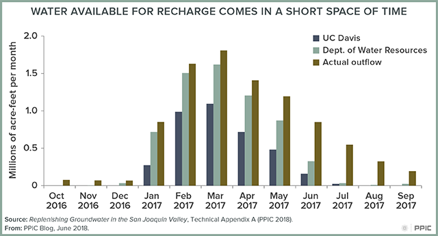
Image above courtesy of Jonathan Parker, Kern Water Bank Authority
